

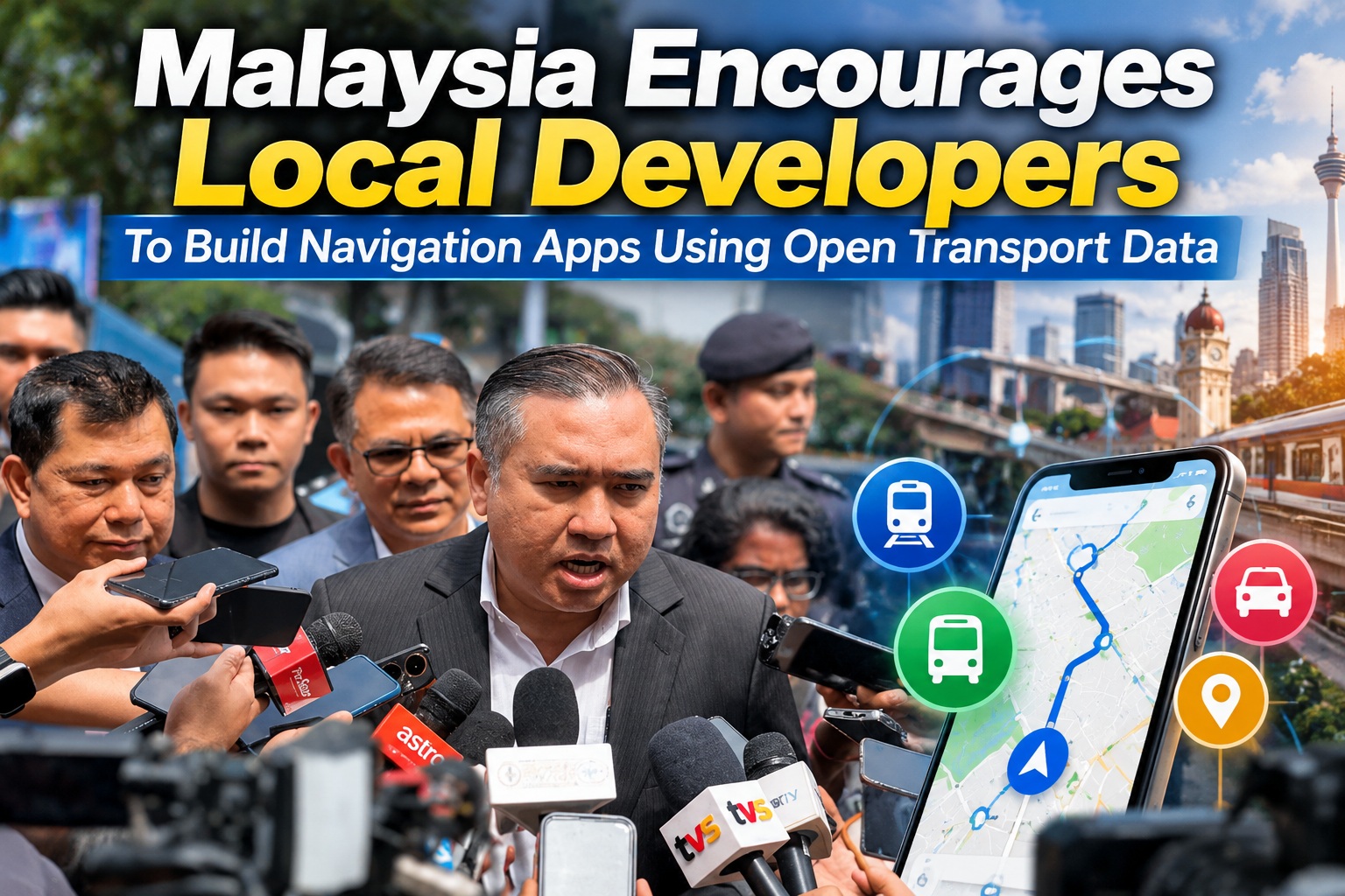
Malaysia is encouraging local developers to make greater use of publicly available transport information to create homegrown navigation and journey-planning applications. Transport Minister Anthony Loke said the government has already made a substantial amount of public transport data openly available, giving developers an opportunity to build services that could make travelling around Malaysia easier and potentially reduce dependence on foreign navigation platforms.
The renewed focus on local development comes as the government promotes Malaysian alternatives following its decision to prohibit civil servants from using Waze for official duties. While the restriction does not apply to the general public, it has sparked wider discussion about whether Malaysia can develop navigation platforms capable of competing with established global services in terms of accuracy, real-time information and reliability.
Transport Data Has Been Open For Several Years
Speaking after the launch of Phase Three of the Masjid Jamek LRT station upgrading project in Kuala Lumpur, Loke said the Transport Ministry has maintained an open-data policy for several years. The intention has been to allow developers, researchers and businesses to use transport information when building services that could benefit commuters.
According to Loke, public transport information is already available rather than being locked exclusively inside government systems. This means developers interested in building navigation or journey-planning applications do not necessarily need to create every dataset from scratch.
The challenge is turning that information into useful applications that ordinary commuters actually want to use.
Prasarana Provides Several Useful Transport Datasets
Prasarana Malaysia has made multiple categories of information available, including daily ridership figures, train service frequencies and public transport timetables. These datasets can provide developers with a useful foundation for understanding how Malaysia's urban transport networks operate.
For example, timetable and frequency information can be incorporated into journey-planning applications to estimate how long a commuter might need to wait before the next train arrives. Ridership information can also help developers, researchers and planners understand which routes experience heavier demand and how usage patterns change over time.
When combined with mapping and location information, these datasets could support considerably more sophisticated public transport applications.
Open Data Can Lower The Barrier For Local Developers
Developing a navigation platform requires access to enormous amounts of reliable information. Global companies such as Google and Waze have spent years building extensive databases covering roads, public transport, businesses, traffic conditions and points of interest.
Local developers cannot realistically reproduce all of that information independently overnight. Open government data helps reduce part of that disadvantage by allowing developers to build upon information that already exists.
This can be particularly useful for smaller Malaysian technology companies or independent developers that may have strong ideas but lack the resources required to collect national transport information themselves.
Transport Ministry Mainly Covers Public Transport
Loke also clarified that the Transport Ministry's responsibility primarily involves public transportation. Road and highway information is spread across several other agencies, meaning developers wanting to build full navigation platforms will need data beyond what the ministry itself controls.
Highway-related information largely falls under the Malaysian Highway Authority, while the Works Ministry and Public Works Department are responsible for other parts of Malaysia's road infrastructure. Building a comprehensive navigation service therefore requires cooperation and data sharing across several government bodies.
That coordination could become increasingly important if Malaysia wants local platforms to compete seriously with mature international navigation applications.
Road Data Is Just As Important As Public Transport Data
Public transport information alone is enough to build useful commuter applications, but general navigation requires a much broader dataset. Developers need reliable road maps, speed restrictions, intersections, temporary closures, construction information and live traffic conditions.
Highway applications also benefit from data covering toll plazas, rest areas, emergency facilities and road incidents. TuJu already demonstrates how local data can provide highway-specific functionality that international navigation platforms may not prioritise.
The more government agencies make this information accessible in consistent formats, the easier it becomes for developers to experiment with new mobility applications.
The Push Comes After Government Concerns Over Waze
Interest in local navigation applications has increased following Prime Minister Datuk Seri Anwar Ibrahim's recommendation that Malaysians consider using TuJu instead of Waze. The government raised concerns over the security of movement information processed by foreign navigation platforms, particularly when used by government personnel.
Civil servants were subsequently prohibited from using Waze for official duties. However, the restriction does not amount to a nationwide ban, and ordinary Malaysians remain free to continue using Waze if they prefer.
The government appears to be using the situation as an opportunity to encourage stronger Malaysian alternatives rather than simply limiting consumer choice.
TuJu Has Received A Sudden Increase In Attention
TuJu, developed by the Malaysian Highway Authority together with Prosignal Consortium, has become one of the most visible beneficiaries of this policy shift. The application was originally designed primarily around Malaysian expressways and includes several locally focused features.
Users can access toll information, highway CCTV snapshots, rest and service area details, petrol station information and traffic updates. These features make TuJu particularly useful for interstate journeys and highway driving.
However, the sudden surge in interest has also exposed areas where the application still needs improvement, including technical capacity and navigation coverage beyond major expressways.
Government Wants TuJu To Expand Beyond Highways
Digital Minister Gobind Singh Deo has said the government intends to work with TuJu and other locally developed navigation platforms to improve their capabilities. One priority is extending TuJu beyond its original highway-focused design so it becomes more useful on ordinary roads.
Traffic information on routes leading towards expressways is also being expanded. This would make the application more useful throughout an entire journey rather than only after a driver has entered the highway network.
For TuJu to become a genuine alternative to Waze or Google Maps, broader road coverage will be essential.
Pintaz Is Another Local Platform Receiving Attention
The government has also highlighted Pintaz as another Malaysian navigation platform that could benefit from greater support. Rather than concentrating everything around one application, strengthening several local services could create a healthier technology ecosystem.
Competition between Malaysian navigation apps could encourage faster innovation and prevent one domestic platform from becoming complacent. Developers could differentiate themselves through better public transport integration, highway data, local points of interest or privacy-focused features.
Ultimately, users benefit when several platforms compete to provide better information and easier navigation.
Malaysia Already Has Several Public Transport Apps
Navigation in Malaysia is not limited to TuJu and Pintaz. Several applications already help commuters plan public transport journeys, particularly within major urban areas.
MyRapid PULSE provides information for Rapid KL and Rapid Penang services, while GoKL supports Kuala Lumpur's free city bus network. Smart Selangor SITS provides information for participating bus services throughout Selangor.
Malaysian-developed platforms such as Zupp also provide public transport journey-planning capabilities. These services demonstrate that Malaysia already has local expertise in mobility applications, even if no single platform currently covers every type of journey.
Commuters Still Have Plenty Of International Alternatives
For users who prefer established international platforms, several options remain available. These include Google Maps, Apple Maps, HERE WeGo, Sygic, Petal Maps and other navigation services.
The government's support for Malaysian alternatives therefore does not currently eliminate competition from international services. Instead, the objective appears to be creating stronger domestic options so users are not completely dependent on platforms controlled outside Malaysia.
That approach also gives local developers an opportunity to build services better adapted to Malaysian transport conditions.
Local Apps Need To Compete On Performance
Being Malaysian-developed will not automatically convince people to use an application every day. Navigation is an area where users quickly notice inaccurate routes, outdated maps or slow traffic updates.
Local experts have emphasised that platforms such as TuJu and Pintaz must compete based on actual performance rather than relying primarily on national identity. Drivers need confidence that the app will provide the correct route when traffic conditions suddenly change.
If a navigation system repeatedly sends users towards congestion or fails to recognise important roads, people will eventually return to the service they trust regardless of where it was developed.
Accuracy Is The Foundation Of Any Navigation App
Navigation applications ultimately exist to answer one basic question: what is the best way to reach a destination?
Everything else depends on getting that answer right. Traffic information, toll calculations and attractive interfaces become much less valuable when the underlying routing data is inaccurate.
Local platforms therefore need continually updated road databases alongside reliable positioning and routing algorithms. Malaysia's roads change constantly as new highways, junctions, construction projects and developments appear.
Maintaining that information is a continuous process rather than something completed when an application launches.
Real-Time Traffic Data Is Equally Important
Modern drivers expect navigation apps to react to traffic conditions almost immediately. An ideal route at 8am may become a poor option 20 minutes later after an accident or sudden congestion.
Platforms need enough live information to detect those changes and recalculate routes appropriately. Established services benefit enormously from millions of active users continuously contributing movement data.
This creates one of the biggest challenges for newer local applications. Without enough users, real-time traffic information may initially be less comprehensive. Growing the user base can eventually improve the product itself through this network effect.
System Reliability Cannot Be Ignored
TuJu's recent disruption following a surge in users demonstrates another important requirement: the application must remain available when demand suddenly increases. A navigation app that becomes unavailable during peak periods immediately loses user confidence.
Backend systems need enough capacity to process location updates, routing requests, traffic information and other data simultaneously. Infrastructure should also be designed to scale when national events or government promotion suddenly attract substantially more users.
For local platforms hoping to become national services, technical resilience is just as important as the quality of the mobile application.
Points Of Interest Need Much Better Coverage
Experts have also highlighted the importance of maintaining detailed and frequently updated location databases. Navigation users often search for much more than street addresses.
Common searches include:
• Petrol stations
• EV charging stations
• ATMs
• Hospitals and medical centres
• Restaurants
• Shopping centres
• Government offices
• Parking facilities
If these locations are missing or outdated, users may continue relying on international applications simply because their databases are more complete.
Building strong Malaysian point-of-interest data could therefore become an important opportunity for both government and private developers.
EV Charging Information Will Become Increasingly Important
Electric vehicle adoption makes accurate location data even more valuable. EV drivers need to know not only where charging stations are located but ideally whether chargers are operational, which connector types are available and whether the station is currently occupied.
Local developers could potentially integrate Malaysian charging networks more deeply than general-purpose global navigation applications. If charging providers make suitable information available through APIs or open datasets, Malaysian navigation apps could offer particularly useful EV-focused features.
This demonstrates how local knowledge can become a competitive advantage rather than simply trying to copy existing platforms feature for feature.
Local Apps Should Be Tested Against Established Competitors
One suggestion from local experts is that Malaysian navigation applications should demonstrate measurable progress by comparing themselves directly against established services.
Testing identical routes under the same traffic conditions would provide a much clearer picture of performance. Developers could compare route accuracy, arrival estimates, traffic detection and rerouting behaviour.
This kind of benchmarking would help identify areas where local platforms are improving and where significant gaps remain.
It would also give users more confidence than broad claims about an application being locally developed or better suited to Malaysian roads.
Open Data Could Encourage Entirely New Applications
The opportunity does not necessarily involve building another full replacement for Waze. Open transport data could support many more specialised applications.
Developers could build services focused on:
• Public transport accessibility
• Train and bus reliability
• Disabled-friendly journey planning
• Park-and-ride availability
• Traffic analytics
• Tourism routes
• Cycling integration
• EV charging journeys
• Multimodal transport
Smaller specialised applications may solve particular problems better than one giant platform attempting to handle everything.
This is where open data can encourage genuine innovation.
Data.gov.my Provides A Starting Point
Developers interested in government information can explore data.gov.my, Malaysia's open-data portal. The platform provides access to datasets covering areas such as public transport ridership patterns and service frequencies.
Making information available centrally makes it easier for developers to discover datasets without contacting each government agency individually. The usefulness of the platform will ultimately depend on how frequently datasets are updated and how consistently they are structured.
Machine-readable formats and reliable APIs are particularly important when developers want to build live applications rather than simply analyse historical reports.
The Developer Community Is Also Contributing
Not all useful transport information comes directly from government. Community-maintained projects are also helping make Malaysian mobility data easier to analyse and reuse.
One example is the Malaysia Public Transport Analytics project available through GitHub. Projects like this can help developers understand datasets, experiment with visualisation and develop tools without waiting for a commercial platform to do the work.
An active open-source community can complement government open-data initiatives and accelerate innovation around Malaysian transportation.
Standardised Data Could Make Development Much Easier
One of the biggest opportunities for the government is ensuring transport datasets use common standards. Developers lose valuable time when each agency publishes information using completely different formats.
Consistent APIs, location identifiers and timetable formats make it much easier to combine information from trains, buses and road networks. International standards such as GTFS already demonstrate how standardised transport information can support entire ecosystems of applications.
The easier government information is to consume, the more likely developers are to experiment with it.
Local Innovation Needs Long-Term Support
Government encouragement can bring attention to Malaysian navigation platforms, but sustainable development requires more than publicity. Developers need reliable access to data, documentation and APIs over the long term.
If datasets suddenly disappear or change format without notice, applications built around them can break. Government agencies therefore need to treat open data as infrastructure rather than a temporary initiative.
Stable access gives companies confidence that investing in applications built around public information will remain worthwhile.
Final Thoughts
Malaysia's push for stronger local navigation platforms could create an important opportunity for developers, particularly because much of the country's public transport information is already available through open-data initiatives. Rather than trying to build every dataset independently, developers can use information covering ridership, train frequencies and service timetables as the foundation for new mobility applications.
The bigger challenge is combining that information with accurate road data, comprehensive points of interest and reliable real-time traffic conditions. Platforms such as TuJu and Pintaz demonstrate that Malaysian developers can create useful navigation services, but competing with Waze, Google Maps and other established platforms requires performance that users can trust every day.
Government support can help by providing better access to data and strengthening the wider GovTech ecosystem, but local apps still need to earn adoption through accuracy, reliability and genuinely useful features.
Ultimately, open transport data provides the raw material. What Malaysian developers build with it could determine whether the country's next major navigation platform comes from Silicon Valley — or from somewhere much closer to home.











Comments 1